
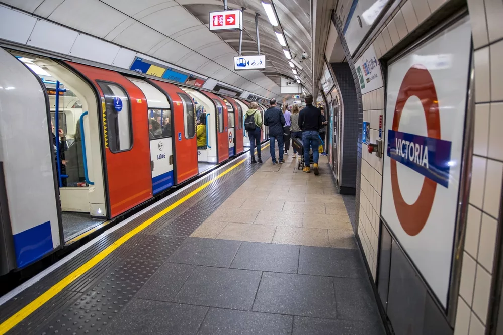
Transport for London has released a new version of their iconic Underground map, this time showing the number of steps it would take to walk between each stop on the map.
The bid to get Londoners walking – as well as ease the pressure on the packed transport network in the capital – shows that many Zone 1 stations are fewer than 1000 steps apart (around 500 metres).
A previous map showed the distance to walk in minutes between the stations, but it is hoped that the new map will encourage users of popular exercise apps, which set a number of steps each day, to take advantage of the data and walk more.
There are some longer journeys in the capital – King’s Cross to Farringdon would take 2,600 steps (almost a mile), and Victoria to Green Park is 1,900 steps, but others, including Cannon Street to Mansion House (400 steps) and Oxford Circus to Bond Street (700 steps) are much shorter.
Sadiq Kahn, the Mayor of London, said, “We need to make it easier and more enjoyable to walk around London. The new steps map will encourage more of us to walk short journeys instead – it’s good for our health and it will help support London’s small businesses.
“We’ve made clear our commitment to tackle air pollution and get more walking and cycling in London, and this is a fun and practical way to help busy Londoners who want to walk more as part of their everyday lives.”
The Tube network currently handles around 1.3 billion passengers a year, expected to rise to 1.7 billion over the next decade. This is in line with the expected population growth of London, from 8.8 million to 10.2 million by 2013.
These projections have triggered a warning from London Underground chiefs that there are parts of the Tube which will be ‘inoperable’ within 15 years.